
Good day parents!
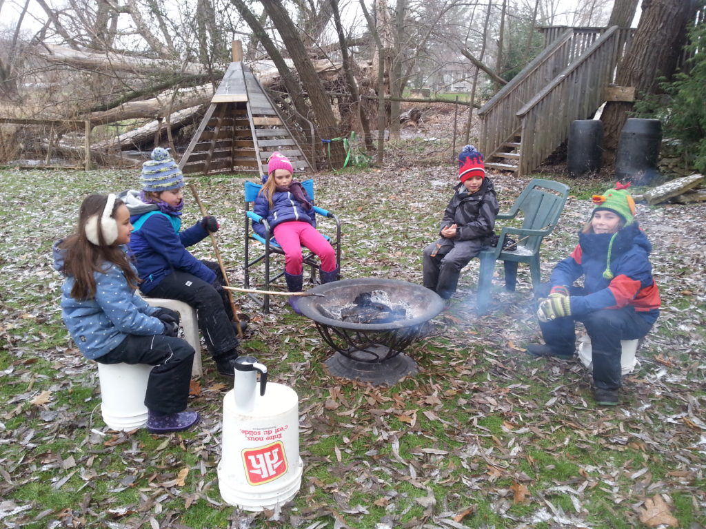
Last Wednesday was our very first day of Forest School WITH snow. At least a little. I’m very sure we will be having more of that very soon. As it was very cold overnight a lot of the nearby puddles froze and that was what the Snowy Owls started their day off with: exploratory play with ice! First throwing things onto it, making it break. Then walking into the puddles making the ice crack underneath their boots. Next they discovered that larger parts floated away from the waves that were made and it became a challenge who could pick up the largest piece of ice. Then the students discovered that in nearby buckets, the water had completely frozen, but the water in the puddles had not completely frozen. We all made our assumptions as to why this is the case and came to the conclusion that this is most likely the case because the earth itself is warmer underneath the puddle than the surface under the bucket that was full of frozen water.
Our fingers began to feel very cold and we gathered around a fire to warm up. While we were preparing for our morning circle a bald eagle flew by! We all admired the bird of prey. Surprised by this wonderful visit we thought this was a very good start for our smudge. Everyone took some time in silence to cleanse themselves with the smoke of white sage, letting negative energy out and bringing good energy into their hearts to begin this brand new day at Forest School.
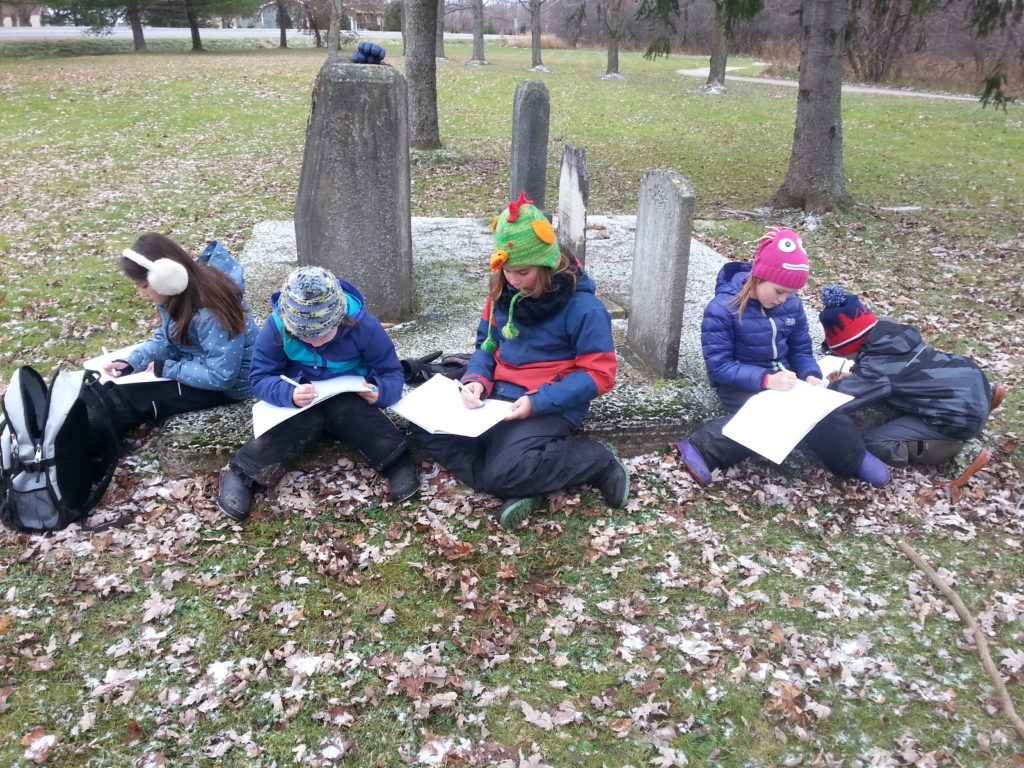
Our day would be all about maps! We brainstormed everything we knew about maps, why and when they were used as well and noted our thoughts in our journals. Things like fold-out-maps, navigation systems, GPS, smartphones, compasses, map legends, unknown areas, hiking and so on came up. I also asked the children to remember a situation when they and their family used a map. The most common answer here was with their smartphones to navigate their way to a destination. Nowadays our maps are very modern and with help of GPS and internet, we don’t have to do much thinking of our own anymore. I asked the students if they knew how people found their ways a long time ago when computers, smartphones and the internet didn’t exist. They came up with answers like: with compasses, stars and help of the angle of the sun. We also thought about how nature, especially animals, navigate through the world to find their destinations.
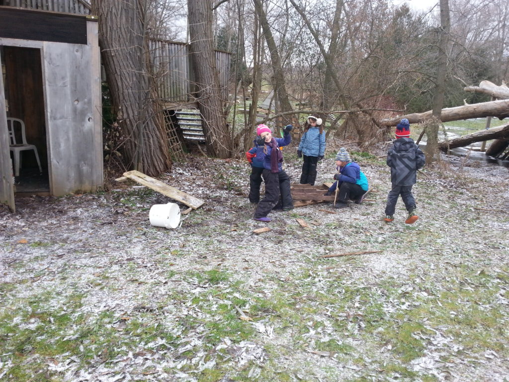
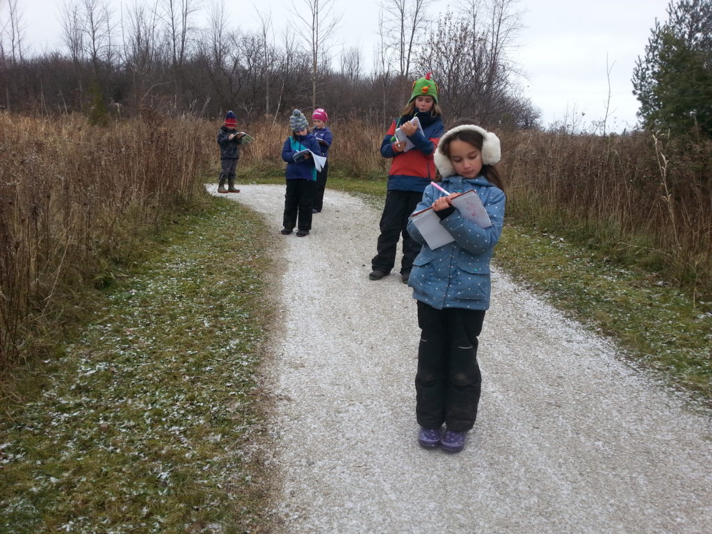
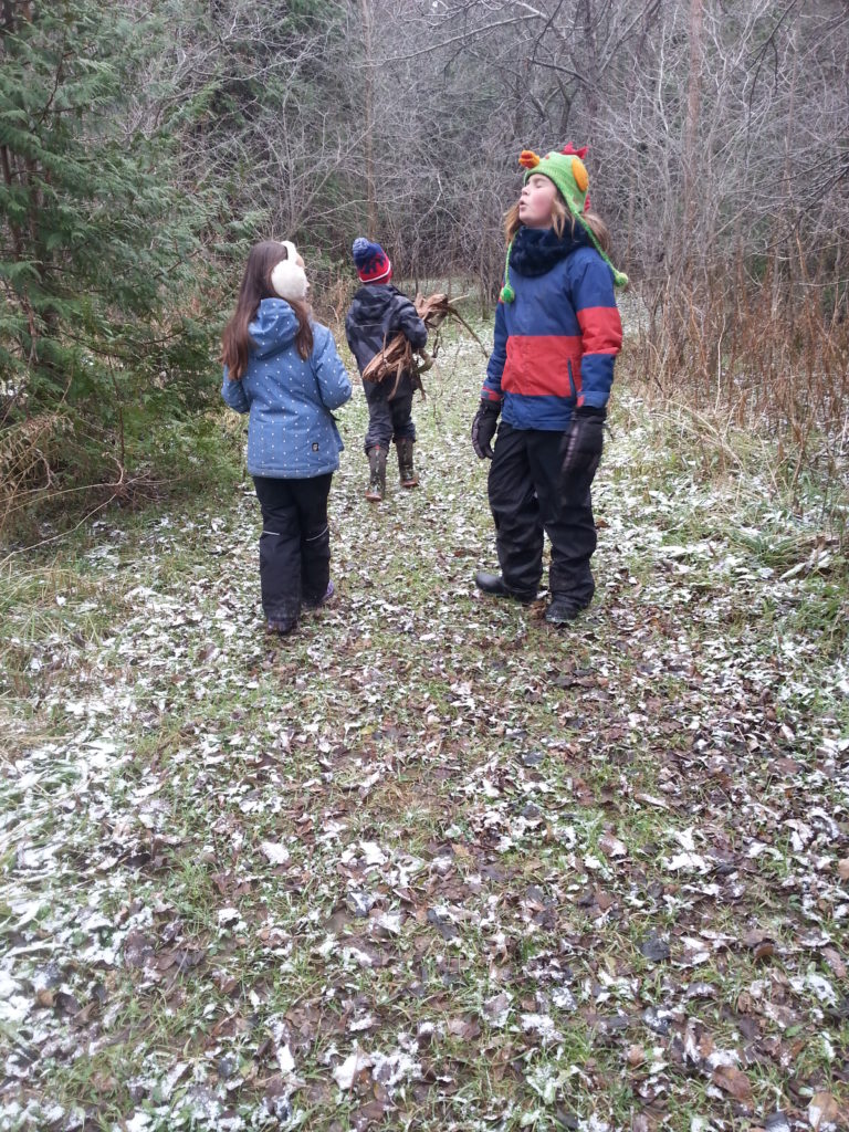
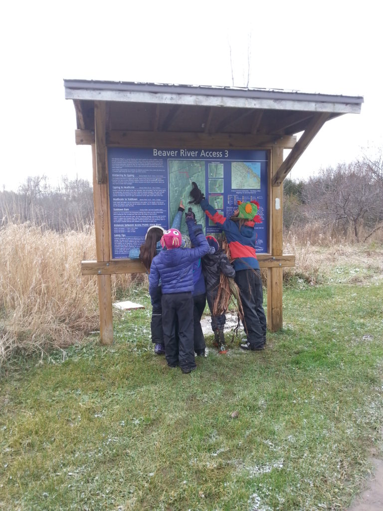
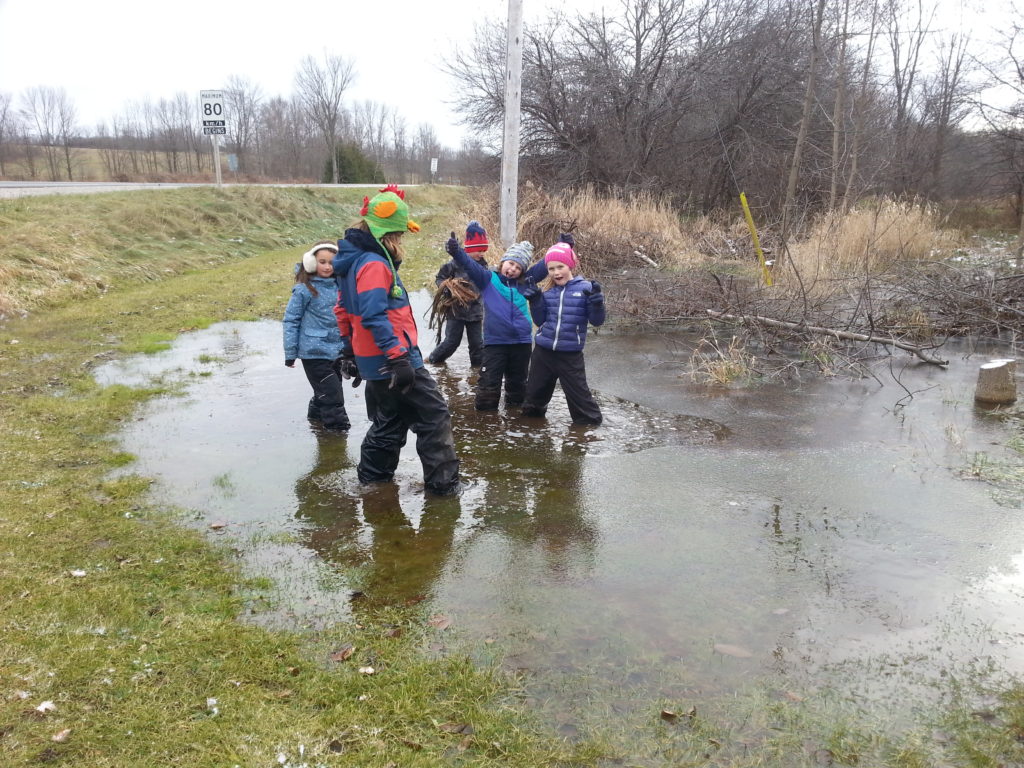
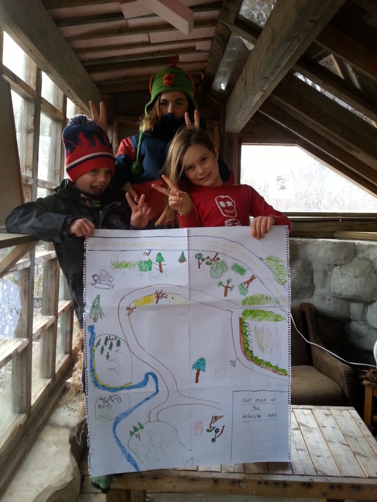
After more exploratory play and a lunch to get us through the cold Forest School afternoon it was time to try and make our own maps. The location for this purpose would be the Heathcote Park. We took our journals and some markers with us and as soon as we arrived started drawing all the unique landmarks, trails and other rememberable things that would help us navigate through the park. On our way we discovered a cool new fort someone had set up between the dense cedars, probably fishermen who prepare their fish before going back home. This had to be marked on our map too of course 🙂 !
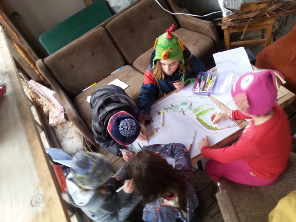
After heading back to the Forest School we joint our drawings to make one large map all together. And what a success it was! We will be heading back to the Heathcote more often during the rest of the semester and will continue adding new things to our map as we discover them!
Next week: nature photography
See you then, Tamara